
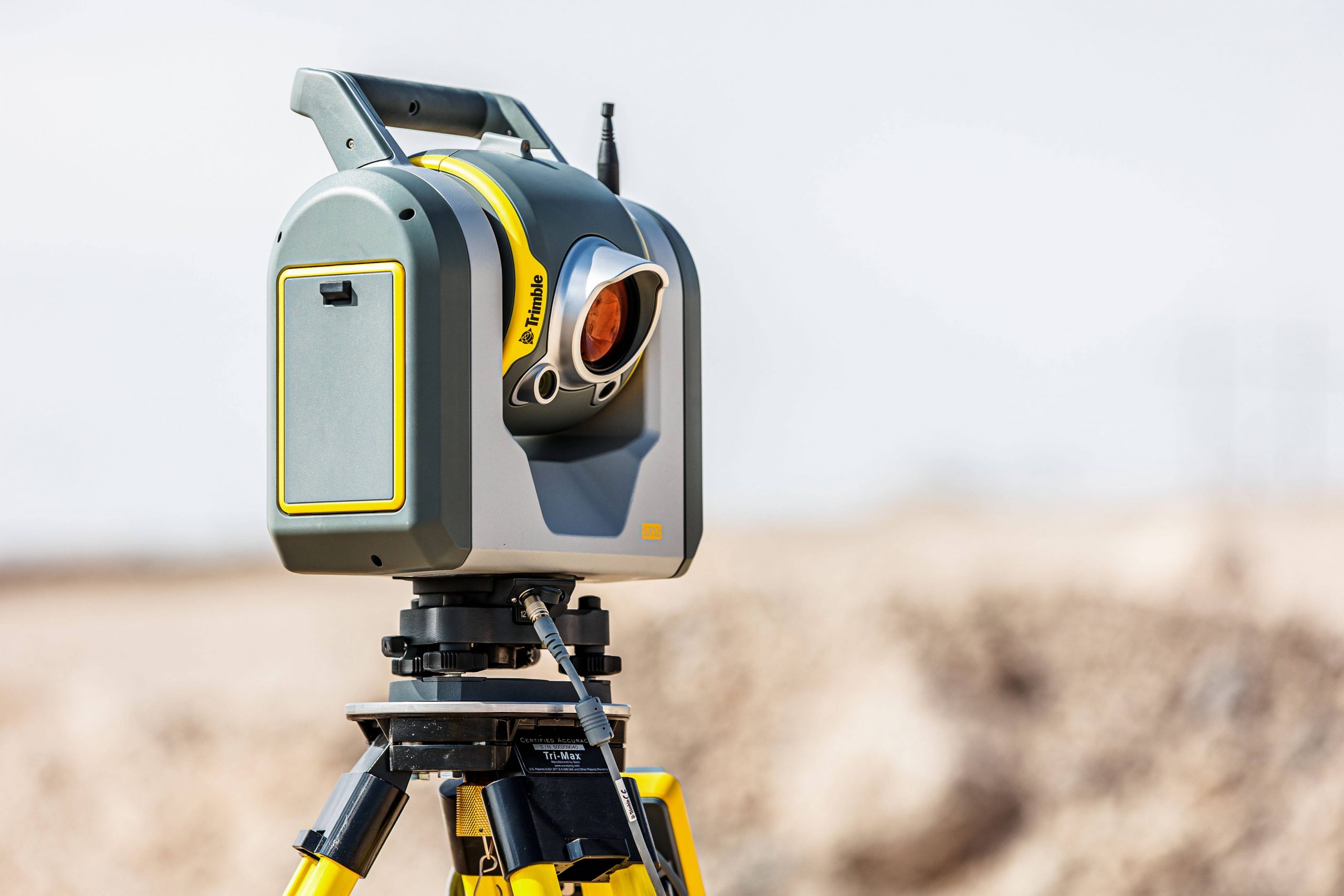
SX12 – The Total Station Scanner
SX12 : The all-in-one total station – scanning and surveying developed by Trimble.
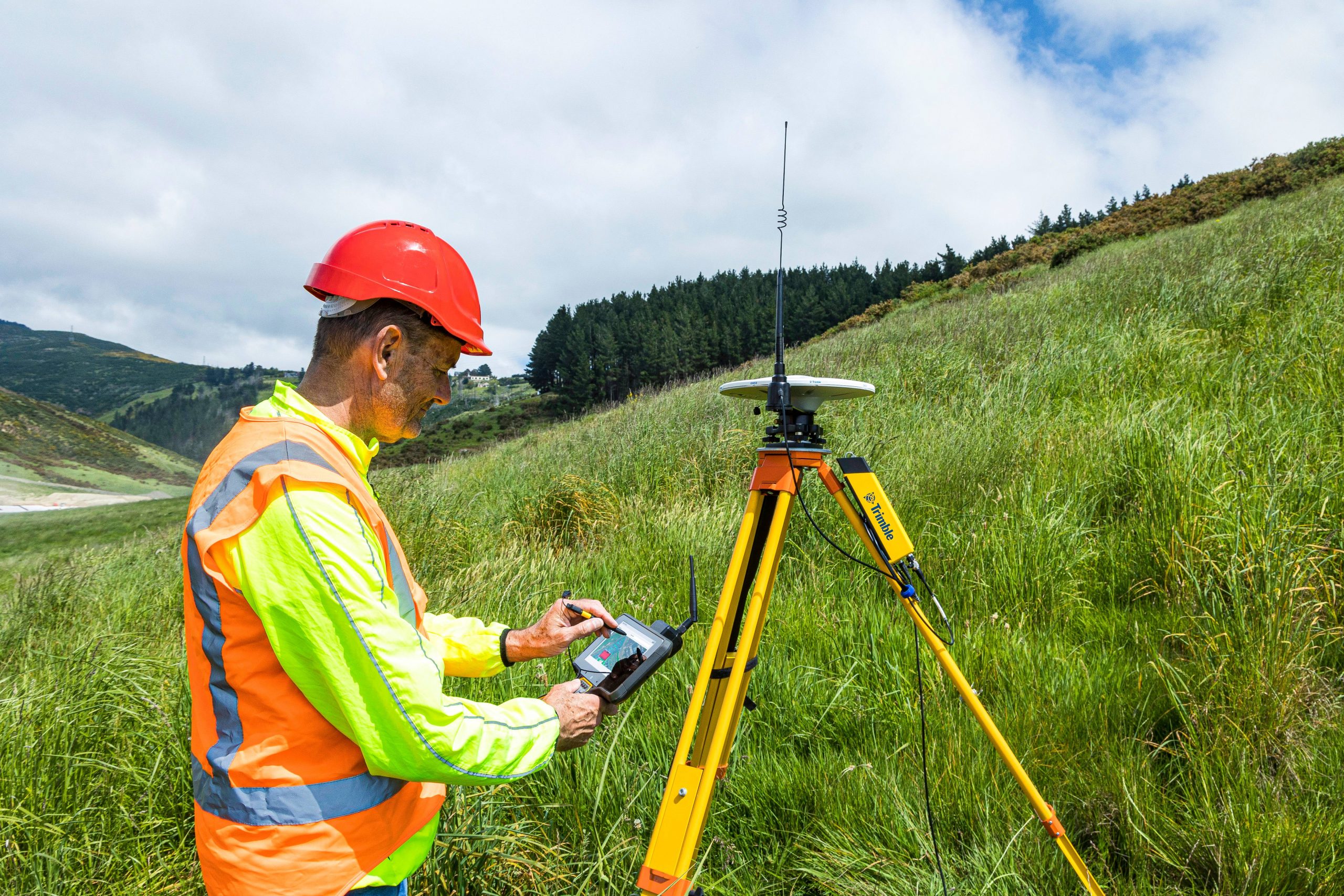
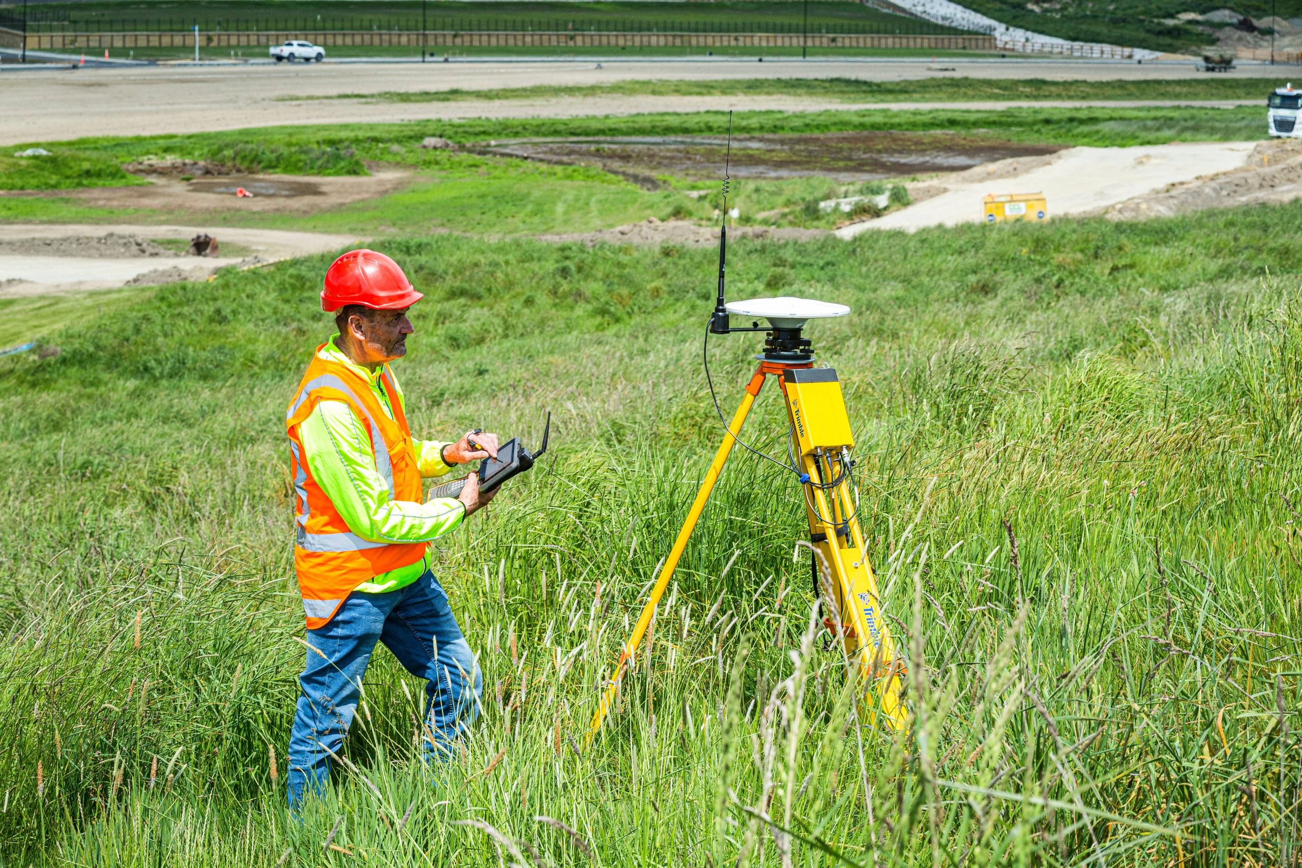
- The Trimble SX12 combines a scanner and a total station in one instrument. Collect data quickly and easily: either through traditional surveying with a robotic total station or via a point cloud with the high-performance 3D scanner.
Capture all site data – scanning and traditional measuring
Maximize your field surveys by generating high-density point clouds and geo-referenced images combined with topographic point capture – for highly accurate mapping of your job site. And all with just one instrument: the Trimble SX12 Total Station Scanner.
Trimble SX12: Trimble Technology at its Best
The latest innovation in our surveying equipment line, the SX12 is a concentration of Trimble’s surveying expertise for construction sites. This instrument combines all the advanced features of robotic total stations with a high-performance 3D scanner that can scan (FR) / measure (BE & PL) 26,600 points per second.
SX12: the essential tool for surveyors
This total station with a scanner is the ideal tool to quickly and easily perform all the daily applications of surveyors on site:
- Traditional point surveys
- Calculation of volumes
- As-built / as-built (BE& PL)
- Follow-up of the progress of the building site
- Management of earth movements
- Creation of 3D model of the construction site / Modeling of the project
- Monitoring and inspection of engineering structures
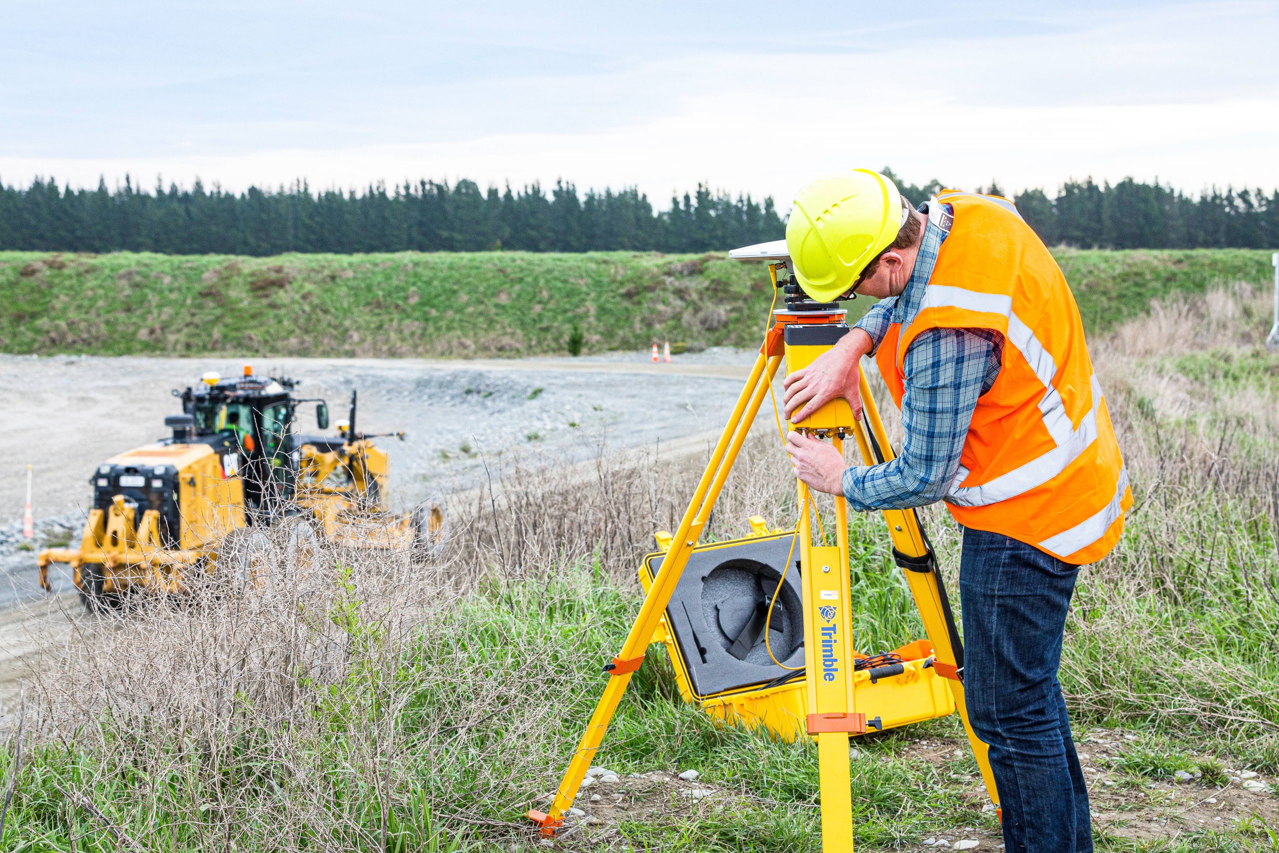
- Scanning of linear projects (rails and roads) including all intersections, networks and urban furniture (overhead power lines, road markings, traffic signs, guardrails…)
Practical and technical information :
- Four high definition cameras (8.1 MP) with a large 107x zoom guaranteeing clear and detailed images of distant objects, excellent aiming and vivid colors. This ensures noise reduction on images even in low light conditions.
- 360 degree point collection
- Laser point of 3 mm diameter at a range of 50 m
- 3D scanner function, up to 26,600 points per second – 26.6 kHz measurement rate, up to 600 m
- 1″ angular accuracy
- Distance noise of 1.5 mm at 200 m
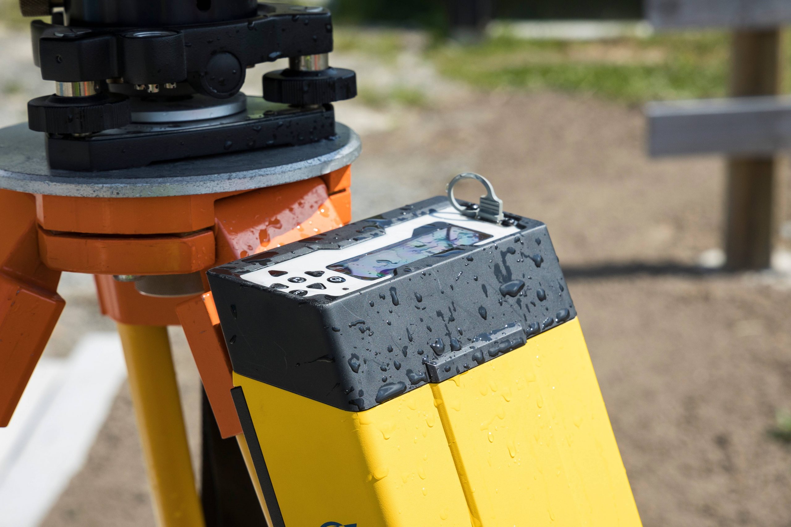
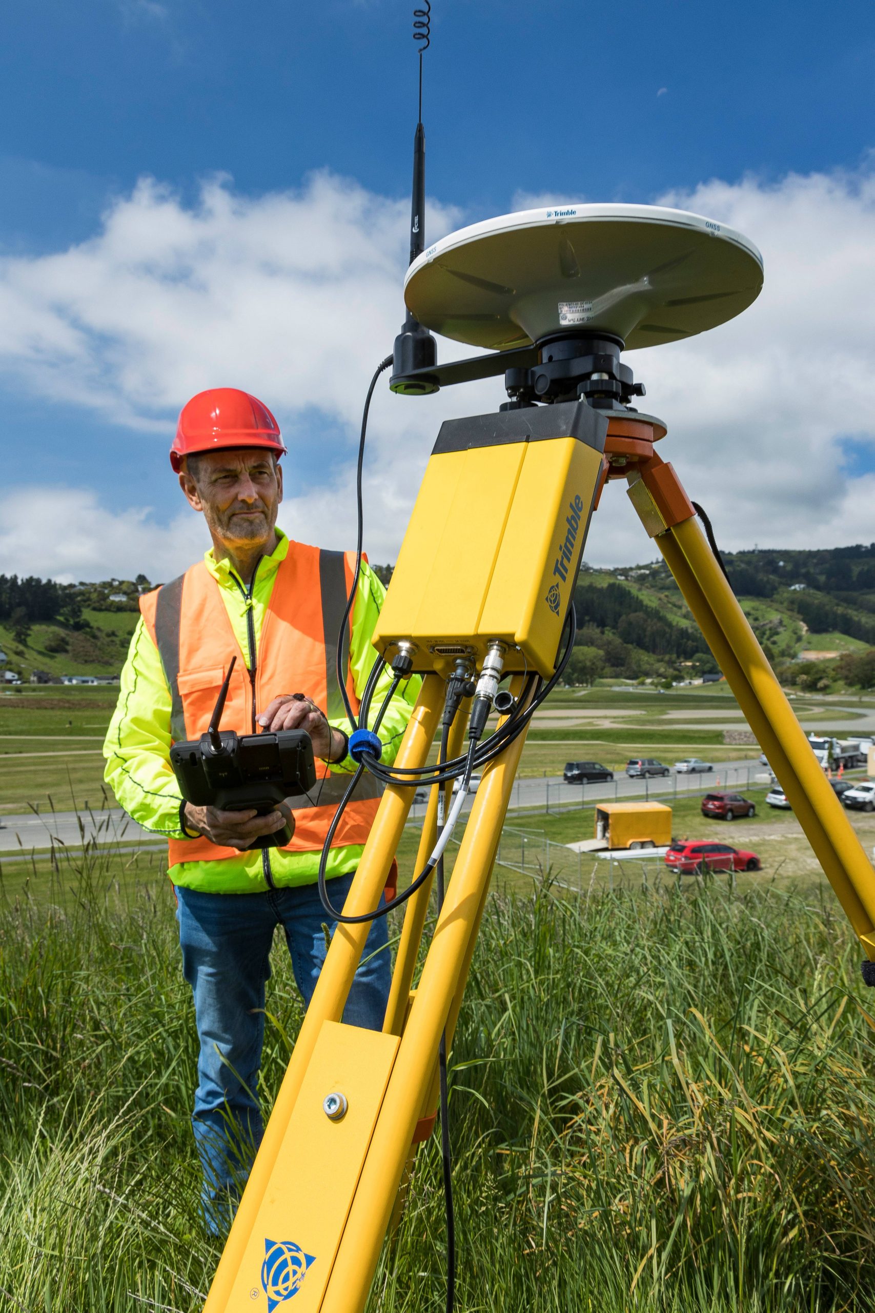
- Compatible with : Tablet T7, TSC7 and T100
SITECH Topographic Training
Do you need training? Whether you are a beginner or an expert, our SITECH France application engineers will train you or improve your knowledge to maximize the use of our solutions. Learn more about our surveying training courses Here.
More information on all our topographic or guidance solutions and on our training courses? Complete our Contact form
Choisissez la formule qui vous convient le mieux – notre service commercial prendra contact avec vous très rapidement.
Formule
x
x
x
Formation
SITECH France – centre de formation agréé – propose un panel de formations destinées à optimiser l’utilisation de vos produits topographiques – En savoir plus
Service
Accompagnement à la conduite du changement, formation, support téléphonique, contrats de services : un panel de services vous aidant à adopter facilement les technologies Trimble. Services
Ces solutions peuvent également vous intéresser

PCS900 3D - Raboteuse
Le système PCS900 3D est un système 3D qui automatise le rabotage. Le système de guidage raboteuse 3D PCS900 vous...
Plus d'informations
Applications Spécifiques
Des solutions sur-mesure pour vos applications spécifiques dans des domaines d'activités liés à la géophysique, les applications marine ou les...
Plus d'informations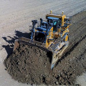
Earthworks 3D - Bulldozers
La référence des solutions de guidage dédiées aux bulldozers par Trimble. Trimble décline sa plateforme Earthworks aux bulldozers : interface,...
Plus d'informations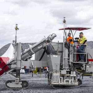
PCS900 - Finisseurs à bétons
Le PCS900 pour finisseurs à bétons permet d’obtenir des surfaces lisses tout en économisant les matériaux et du temps. Aussi...
Plus d'informations
Earthworks 2D - Bulldozers
Le système de guidage 2D permet de contrôler l’altimétrie et l’inclinaison de la lame du bulldozer. La mesure du dévers...
Plus d'informationsVotre logiciel
Composez votre offre
Formation
Service
Merci pour votre message
Votre demande a été envoyée avec succès.
Nous vous contacterons dès que possible.
Nous vous contacterons dès que possible.
Close